 7 hours ago
8
7 hours ago
8
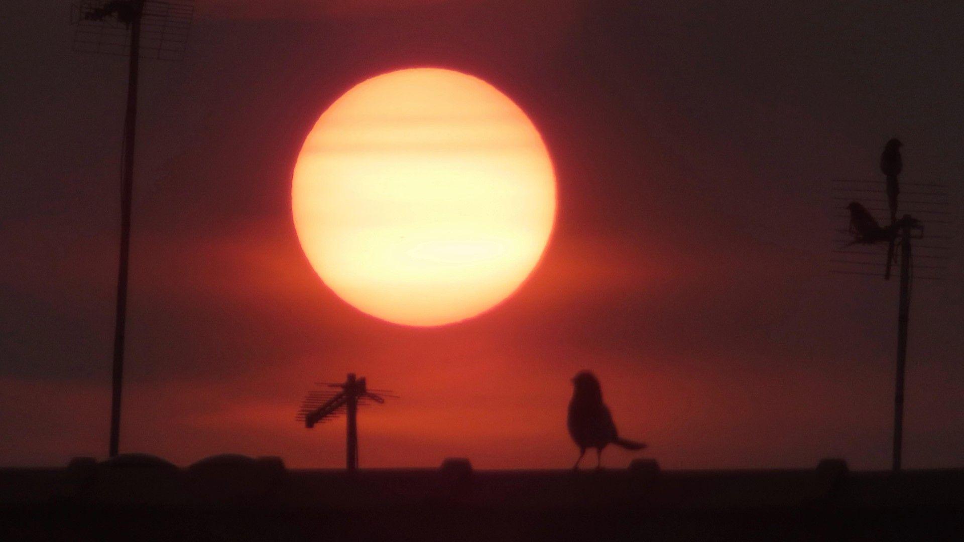 Image source, BBC WeatherWatchers/Wildswimmer
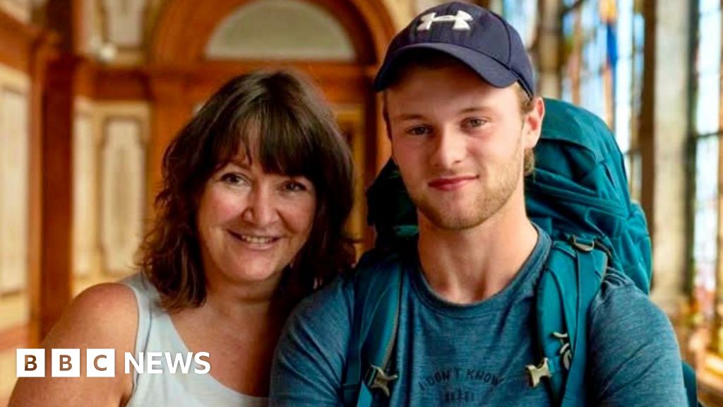
Fiery Saturday sunset in Motherwell
Matt Taylor
Lead Weather Presenter
The sun and sky had a much more eerie appearance to it on Saturday evening and Sunday morning.
It was a sign that smoke from wildfires burning more than 4,000 miles (6,400km) away in central Canada had made it across the Atlantic to sit in the skies over the UK.
BBC WeatherWatchers from all corners of the country were out capturing the spectacle.
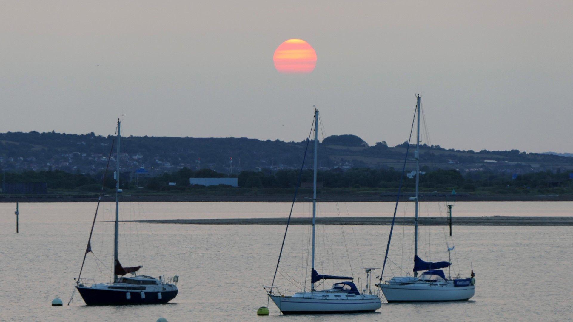 Image source, BBC WeatherWatchers/Alison Treacher
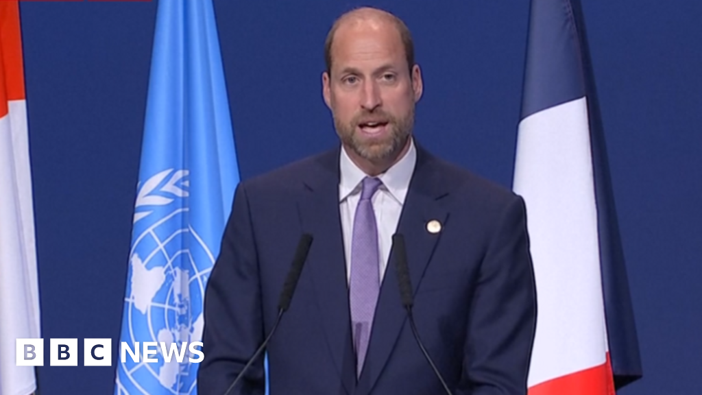
A muted sunrise over Hampshire on Sunday morning
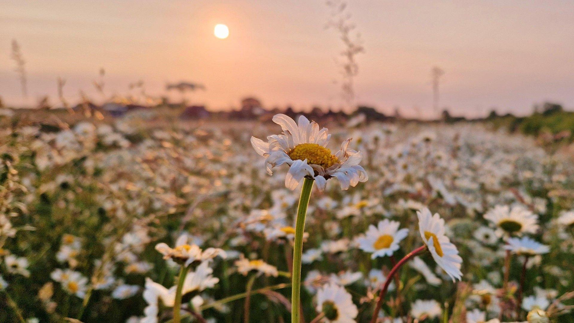 Image source, BBC WeatherWatchers/Helen Earth
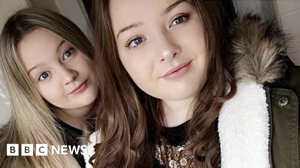
Smoke particles in the atmosphere scatter blue light more, leaving oranges and reds dominant.
Why has the sky turned orange?
The fluctuating layer of smoke in our atmosphere meant that the expected blue skies in the evening and morning have taken on more of a dirty orange or milky white hue. The sun has also appeared as a distinct orange disc, leading to captivating sunset and sunrise.
The change in the appearance of the sun and sky is due to smoke particles in the atmosphere scattering the blue wavelengths of light more, allowing predominantly orange and red hues to reach our eyes.
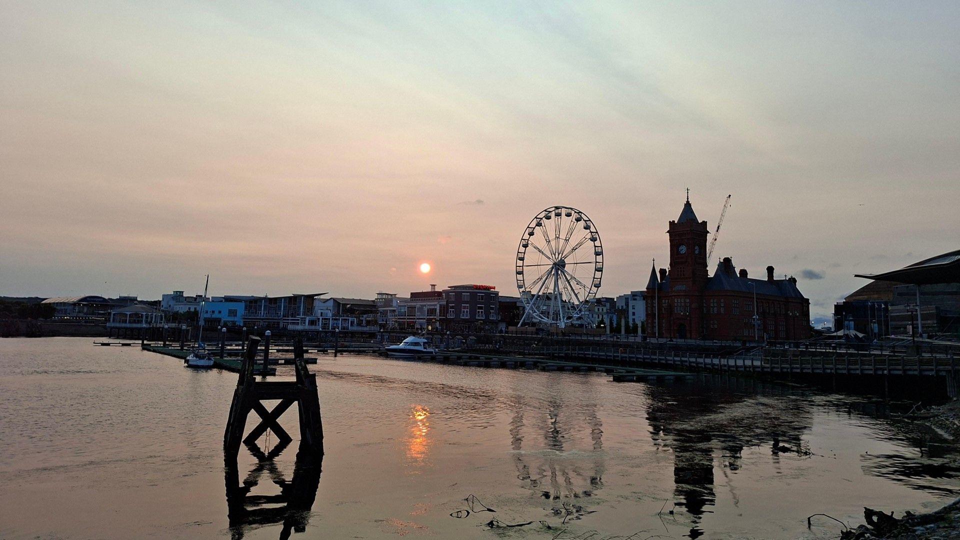 Image source, BBC Weather Watchers/Orla
Wildfire smoke arrived on Saturday evening, leading to a muted sunset in Cardiff
How did wildfires smoke reach the UK?
The presence of wildfire smoke from North America over the UK, whilst not common, does occasionally happen during the summer months.
Large plumes of smoke that rise from intense fires, that can burn for weeks on end, sometimes reach the upper atmosphere to be picked up by the jet stream - a zone of strong winds, close to the level at which planes fly. These winds then carry the smoke particles across the Atlantic.
Over recent weeks numerous fires have raged across many Canadian provinces, especially Manitoba and Saskatchewan forcing mass evacuations and triggering health alerts across Canada and the United States.
Here in the UK, the smoke plume is at too high an altitude to affect our air quality.
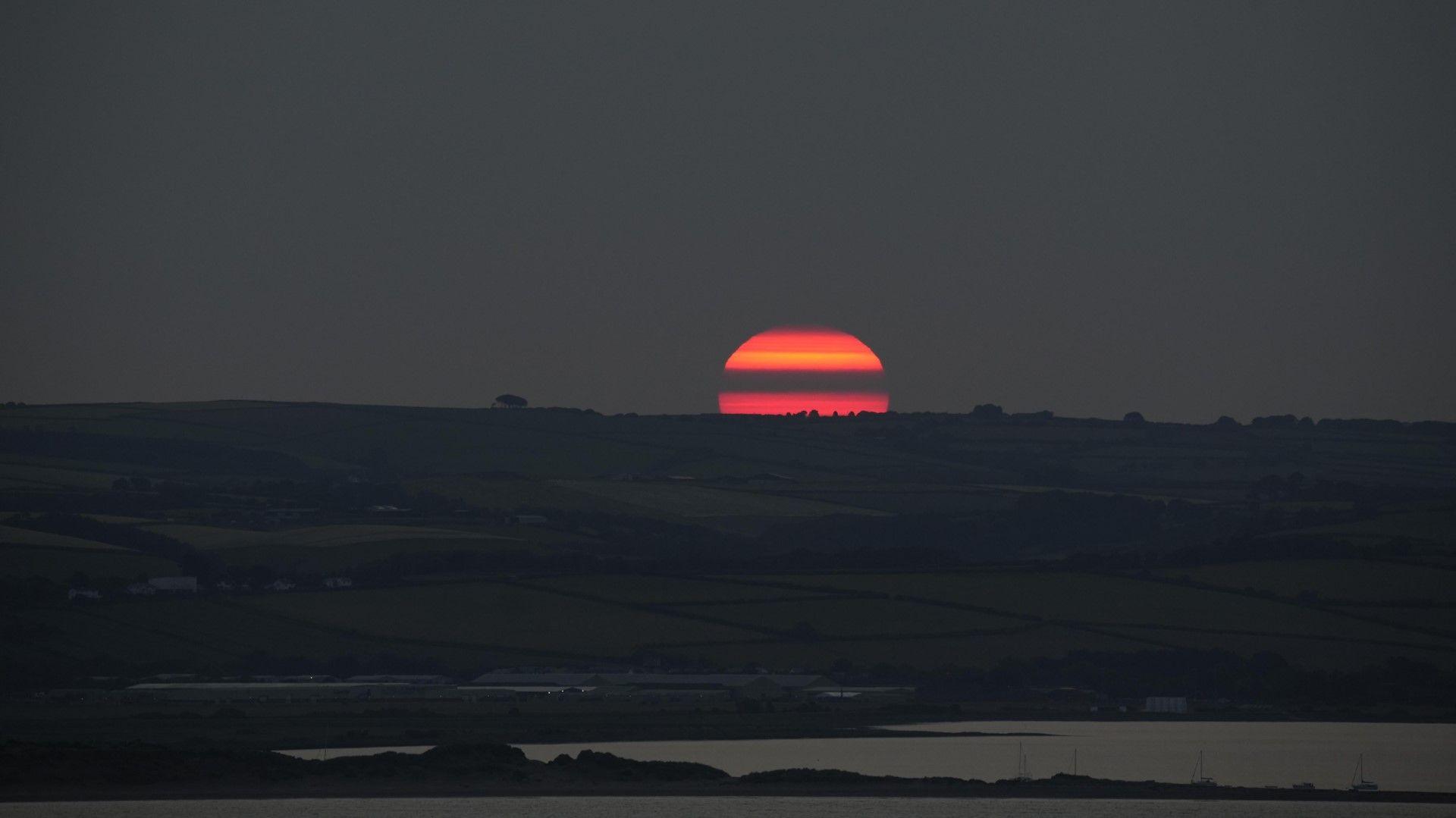 Image source, BBC WeatherWatchers/sumutd1985
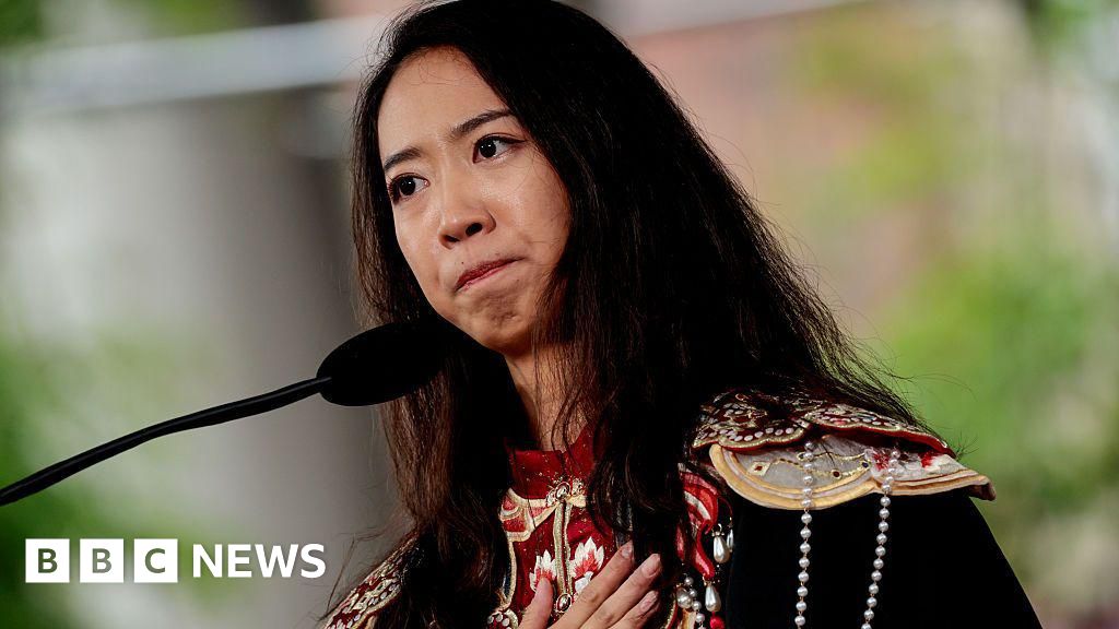
Sun rises over Somerset on Sunday morning.
Is more smoke forecast?
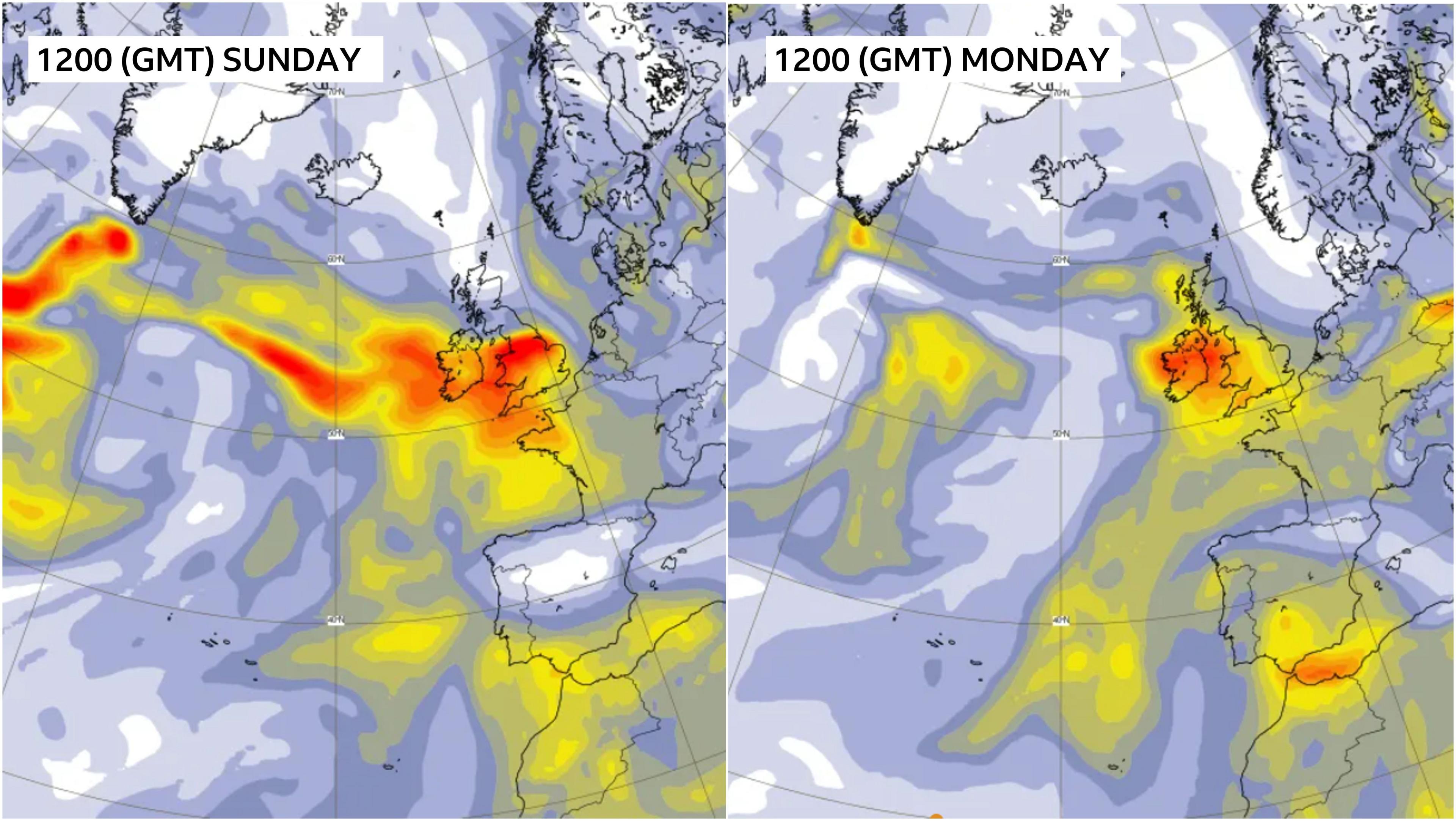 Image source, ECMWF/COPERNICUS
Aerosol forecasts show the smoke plume over the UK on Sunday, with another forecast for Monday
Forecasts show another plume of wildfire smoke could arrive with a weather system on Monday, further enhancing sunrise and sunsets where the cloud breaks.
A change in the weather patterns by midweek will stop any further smoke from arriving, but the development of southerly winds is likely to bring the possibility of lifted dust from the Sahara and more interesting skies