 1 day ago
5
1 day ago
5
Elizabeth Rizzini
Lead Weather Presenter
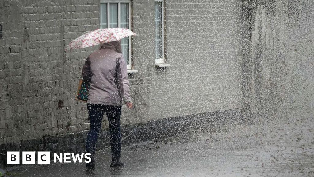
Multiple warnings for thunderstorms have been issued by the Met Office as torrential downpours look set to hit the UK.
The four yellow warnings cover southern England, Wales and southern Scotland over the next few days.
Meanwhile, the Environment Agency has declared a drought in Yorkshire following the UK's driest spring in more than 100 years.
Temperatures are expected to surge over the coming days, with the peak on Friday set to match the previous hottest day of 2025 so far - when 29.3C (84.7F) was recorded in Kew Gardens on 1 May.
In Yorkshire, there has been less than 50% average rainfall in spring, and less than 75% average in May.
Welsh Water has also declared a drought developing zone in part of its network after the area's driest spring since 1990.
A drought is a prolonged dry period that reduces available water supplies and can negatively impact the environment, people and wildlife.
Last month, a drought was declared across north-west England after weeks of unusually dry weather led to low water levels in reservoirs and rivers.
The warnings for thunderstorms are in place in:
- South-west England and Wales between 00:00 and 19:00 on Thursday
- South-west England and Wales again between 18:00 and 23:59 on Friday
- South-east England between 15:00 on Friday and 06:00 on Saturday
- Western England and Wales and southern Scotland between 00:00 and 18:00 on Saturday
Northern Ireland has a yellow weather warning for rain between 06:00 and 21:00 on Thursday. It was previously a warning for thunderstorms.
The amount of rain will vary on Thursday, but some areas could have as much as 10-20mm (0.40-0.8in) in an hour which could cause some flash flooding.
The band of thundery showers will move northwards through the day and evening, with the showers less likely to be thundery over Scotland on Thursday night.
On Friday afternoon, thunderstorms are forecast to hit south-east England and East Anglia regions, with torrential downpours of 30-50 mm of rain expected.
This could lead to surface water flooding, made worse by the recent dry spring.
The thunderstorms could even form in lines, with hail, lightning and gusty winds possibly causing further problems.
Meanwhile, temperatures are expected to surge in parts of eastern England with the heat and humidity combining to bring thunderstorms.
Friday's peak temperatures will reach 28-29C and will likely be recorded somewhere in south-east England or East Anglia.
A southerly wind will continue to drag in some very warm air from the near continent where temperatures have been over 30C, and over 40C in some parts of Spain.
With cloud cover in the afternoon and thunderstorms moving on southerly wind, it will be hot and humid with the cloudiness limiting the daytime heating.
The first yellow heat-health alerts, issued by the UK Health Security Agency (UKHSA), will come into effect later on Thursday.
They will cover the east of England, London, East Midlands and south-east England from 21:00 BST on Thursday until 08:00 on Sunday.
The heat-health alert means that there is likely to be increased use of health care services by vulnerable people and an increased risk to the health of people aged over 65 years or with pre-existing health conditions, including respiratory and cardiovascular diseases.