 2 months ago
69
2 months ago
69
ByHelen Willetts
Lead Weather Presenter
The current mild weather will continue over the weekend and into next week.
Temperatures will remain comfortably above average for the time of year by several degrees.
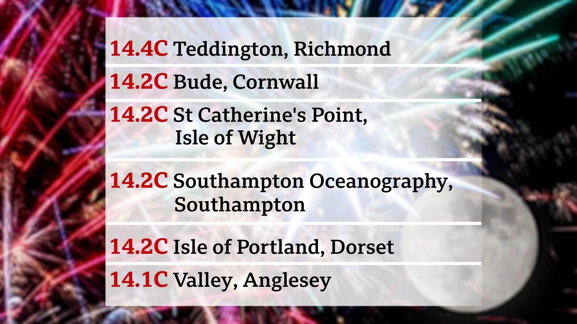
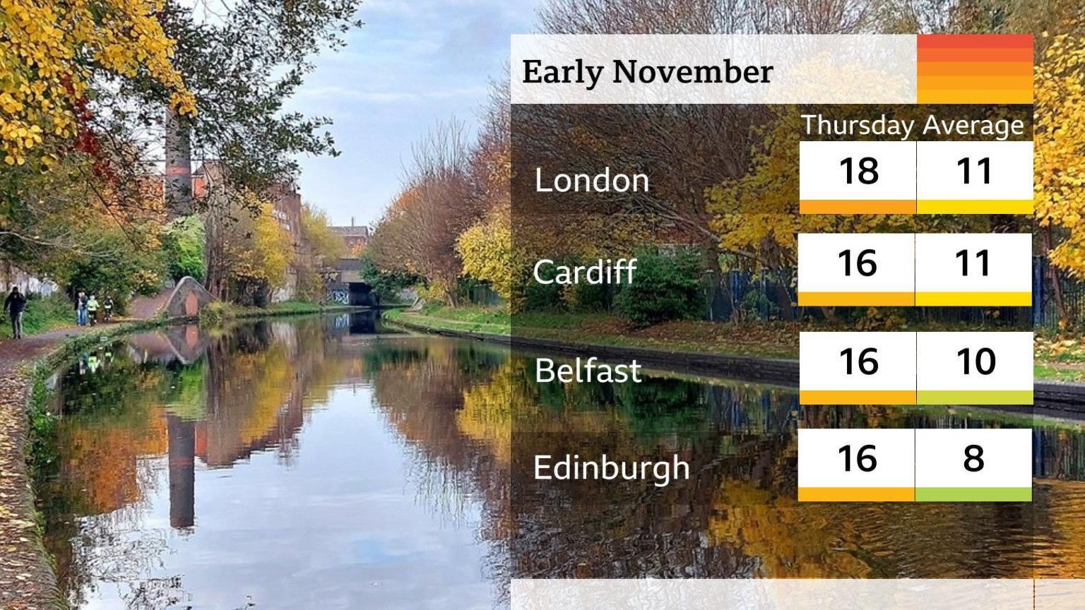
Bonfire Night on Thursday was the warmest ever recorded with temperatures staying above 14C in a number of places - something more akin to what we might typically expect during the day.
The previous record of 13.9C, was set in 1938 at Gordon Castle in Scotland.
How mild has it been?
Typical overnight temperatures at this time of year range from 2C in Scotland to 5C in the south of England.
During the first week in November they have rarely fallen into single figures, instead hovering at around 10 to 14C. These temperatures are closer (and even a little higher) than those experienced on an average November day.
The daytime has also been incredibly mild with temperatures peaking at 19C in Plymouth on Wednesday. Temperatures on Thursday were some 5 or 6C above average.
Why has it been so warm recently?
The warmth is down to the position of the jet stream, whose winds steer our weather systems across the Atlantic .
The UK is currently sitting to the south of these winds and is tapping into air originating in the Azores, close to the equator. Plus the sea temperatures to our southwest are as much as 2C above average, which adds to the equation.
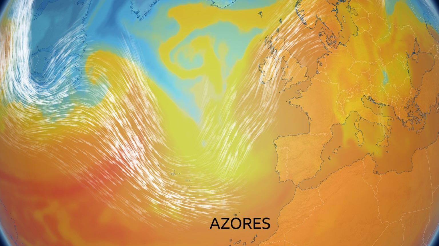
Warm winds from the south are influencing the UK's weather
The situation has been aided by a milder than average October, as well as nighttime cloud cover which acts like a blanket to keep the heat in.
When will temperatures start to drop?
Temperatures will remain above average across the weekend and into next week.
Towards the middle of the November there are hints that we may see temperatures dip back closer to average.
However, at this stage and that far ahead, confidence is low so keep checking our longer range outlook for updates.
At this time of year, average day temperatures vary between 8C in northern Scotland to 11C in southern England (2C to 5C at night respectively).
What does the weekend hold in store?
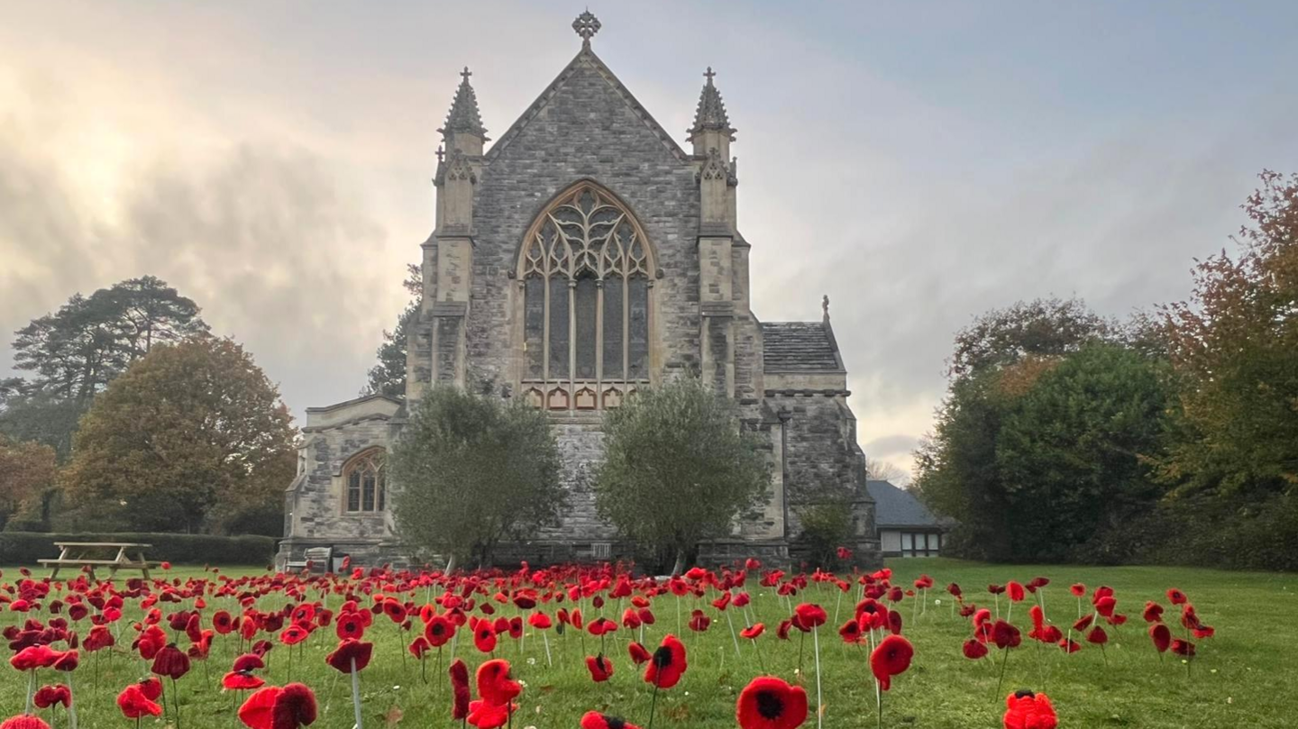 Image source, BBC Weather Watchers / MarkieB
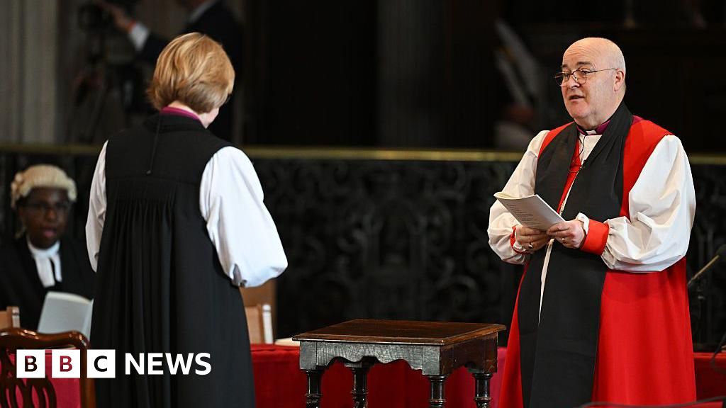
Churches up and down the UK will be holding Remembrance Services on Sunday 9 November, including the National Service of Remembrance at the Cenotaph in London
The weekend is looking like a mixed bag, with most parts of the UK likely to have one dry day.
Saturday might well start murky with fog that's slow to clear but then looks promising for sunny spells to develop quite widely. Expect temperatures to be around 11 to 15C north to south.
Saturday night will be a little cooler with some eastern parts of both Scotland and England falling to 5 or 6C with patchy fog.
By Sunday morning rain will have moved into Northern Ireland and will then progress eastwards to all but East Anglia and southeast England by dusk. Still mild with temperatures in the range of 10 to 14C.
Keep up to date with the forecast where you are here or via the BBC Weather app.